gmtset BASEMAP_TYPE fancy FRAME_WIDTH 0.05c
gmtset LABEL_FONT_SIZE 12 LABEL_FONT 4 DEGREE_FORMAT 3
gmtset ANOT_FONT_SIZE 12 ANOT_FONT 4
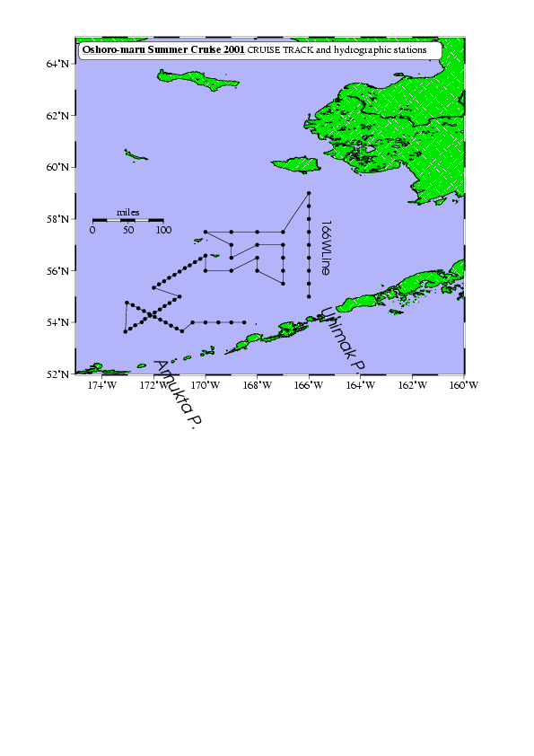
set ifile=2001obs.txt
set ofile=oshoro2001.ps
set rr=185/200/52/65
set jj=0.4id
set bopt=a2f1/a2f1WSne
pscoast -R$rr -Jx$jj -B$bopt -Df -S180/180/250 -Gp300/26:F255/255/255B0/230/0 -Lf187/58/58/100m -W3/0/0/0 -K -P -X3 -Y15>! $ofile
# -Gpで陸に模様をつける
# -Lでスケールをつける。この場合単位はマイル
psxy $ifile -R -Jx -Sc0.15 -G0 -K -O >> $ofile # 入力ファイルの経度・緯度情報を読んで、観測点をプロットする
psxy $ifile -R -Jx -W2.0/0/0/0 -K -O >> $ofile # 入力ファイルの経度・緯度情報を読んで、観測点をつなげる
pstext -R -Jx -K -O -N -M -W255O0.5p -D0i/0i -V << EOF >> $ofile # テキストを書き込む
> 199 64.3 12 0 4 RB 12p 5.5i j
@_@%5%Oshoro-maru Summer Cruise 2001@%%@_
@#cruise track@# and hydrographic stations
EOF
pstext -R -Jx -N -O -G0 -V << EOF >> $ofile # テキストを書き込む
194.5 58 14 -90 13 0 166WLine
188 52.5 18 -60 14 0p Amukta P.
194.4 54.5 18 -60 14 0p Unimak P.
EOF
exit